| Tower: | Location: | GPS Coordinates: | Terrain Description: |
|---|---|---|---|
| T0 | Lakeland, FL | 27° 59′ 28.5″ N 82° 00′ 51.2″ W | Rough side of open exposure |
| T1 | Fort Meyers, FL | 26° 35′ 35.9″ N 81° 52′ 0.2.2″ W | Rough side of open exposure |
| T2 | Osprey, FL | 27° 10′ 50.0″ N 82° 29′ 31.3″ W | Rough side of open exposure |
| T3 | Plant City, FL | 28° 00′ 03.7″ N 82° 09′ 42.6″ W | Rough side of open exposure |
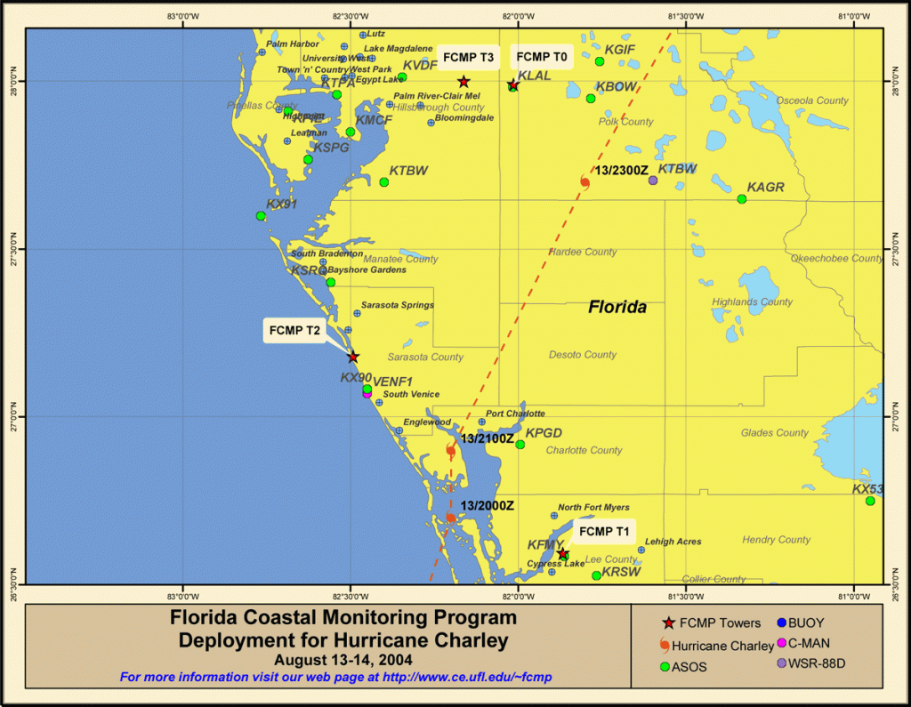
Deployment Map
Download PDF version of deployment map here.
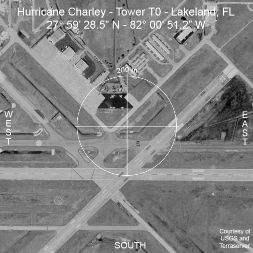
Aerial Photography – T0 – Lakeland, FL 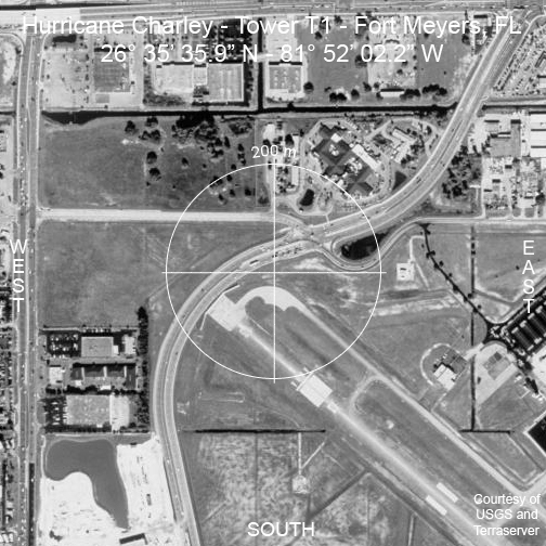
Aerial Photography – T1 – Fort Meyers, FL 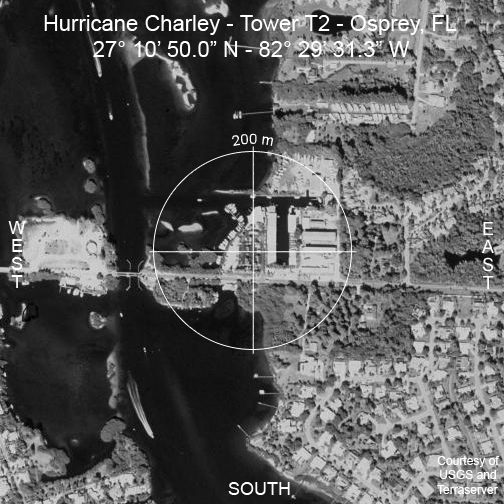
Aerial Photography – T2 – Osprey, FL 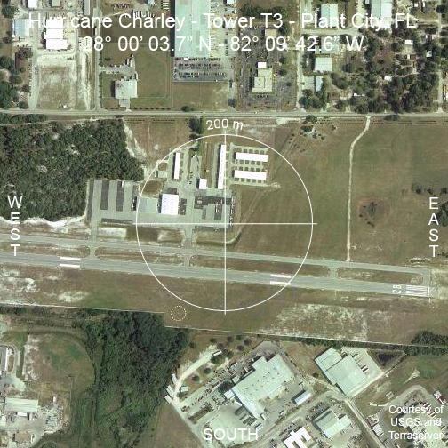
Aerial Photography – T3 – Plant City, FL 