Wednesday, September 21, 2005
0800 EDT
The UF contingent has left Gainesville to meet the rest of the FCMP team in Gulfport, MS, where they are now conducting damage surveys from Hurricane Katrina. Looking forward to 800 miles on I-10.
1400 EDT
We have rendezvoused with the Mississippi crew and are now all headed to Houston, TX. The team members and vehicles are as follows:
| Equipment | Truck | Passengers |
|---|---|---|
| Tower | Dually | Dr. Forrest Masters (FIU), Rob Davis (UF) |
| Tower | 3657 | Dr. Kurt Gurley (UF) |
| Tower | 3677 | Craig Tillman (Wyndham Partners Consulting Ltd), Robin Lang (Renaissance Re Services Ltd.) |
| Tower | 3578 | Jimmy Jesteadt (UF), Sean-Paul Ferrara (UF) |
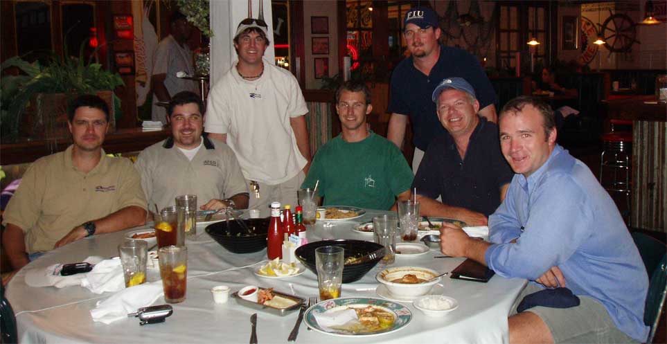
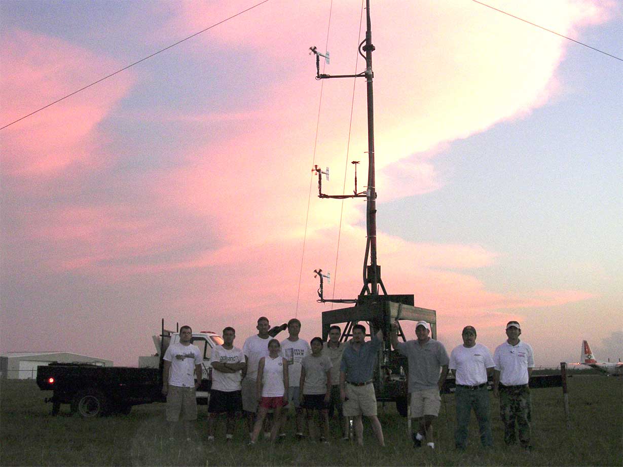
Team members @ Dinner
2300 EDT
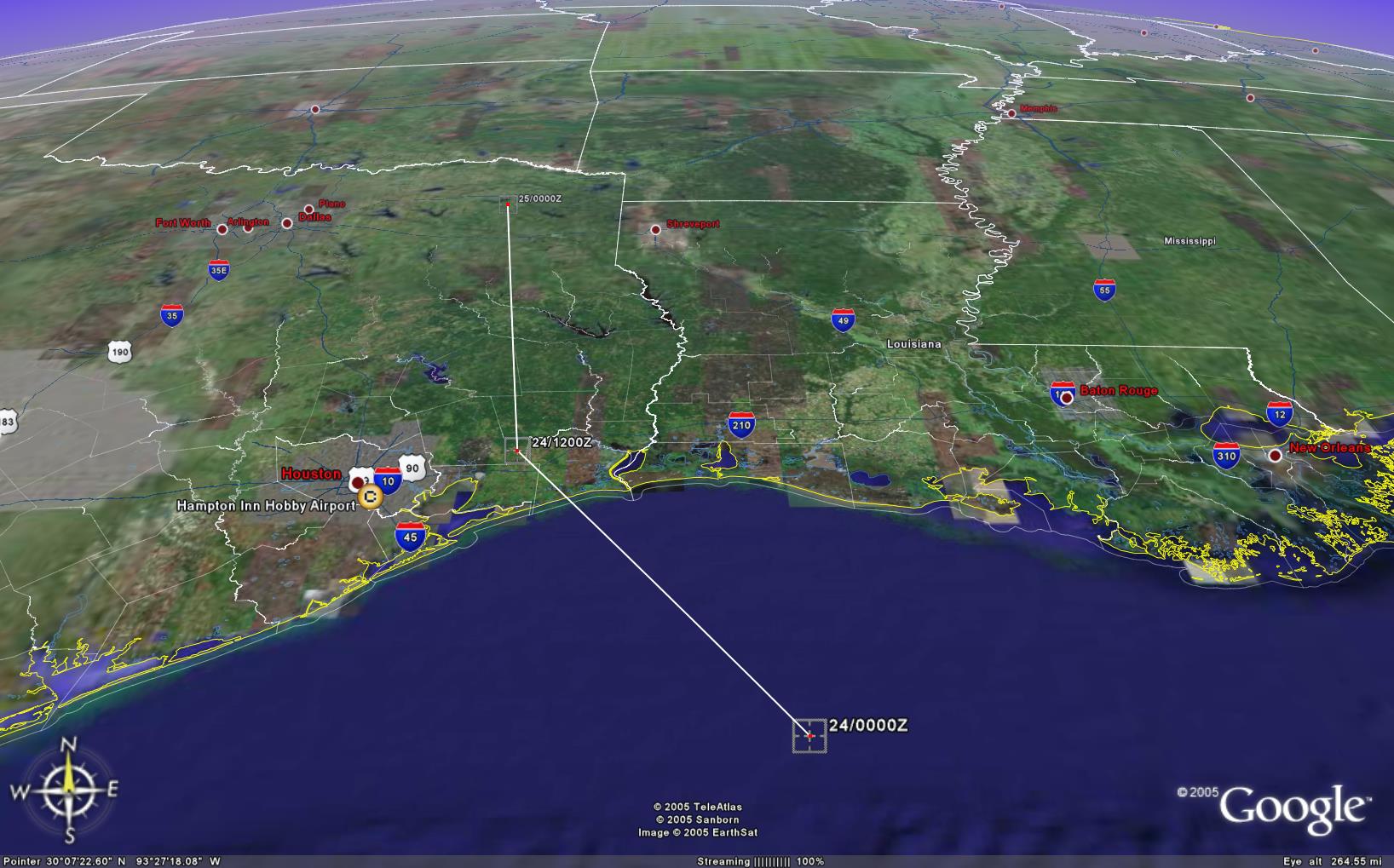
The convoy is now crossing the Texas state line. We will be spending the night south of Houston. We have also received word that the Doppler on Wheels and Dr. Josh Wurman will be joining us tomorrow from the Center for Severe Weather Research in Boulder, CO (www.cswr.org). This will allow us to coordinate our deployments and collect a better image of the wind field as Rita makes landfall. More information to follow. His team is listed below:
Dr. Josh Wurman, CSWR
Jon Lutz, Engineer
Paul Robinson, Scientist
Mark Oerther, OU
Justin Walker, OU
Thursday, September 22, 2005
1525 EDT
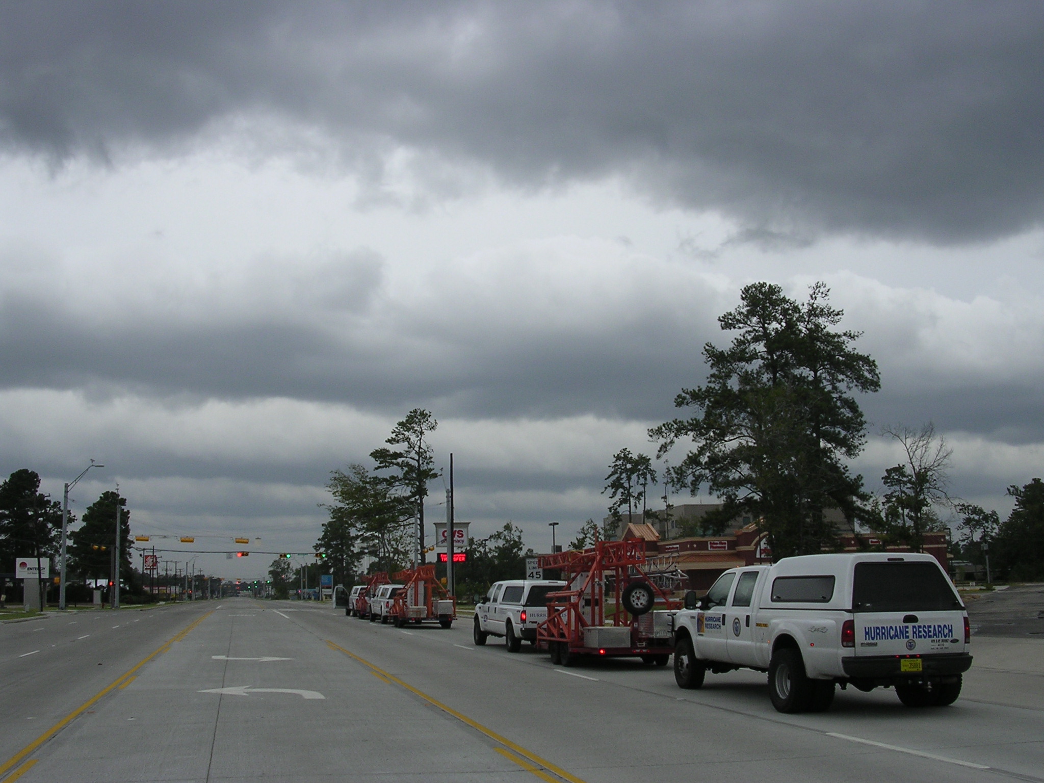
FCMP research personnel, through the generosity of Hilton Hotels, were allowed to stay at the Hobby Airport Hampton Inn after it was closed to the public. The convoy arrived at 2 PM EDT, with an additional member. Ryan Chancey, a Ph.D. student at UT Austin, joined the group today.
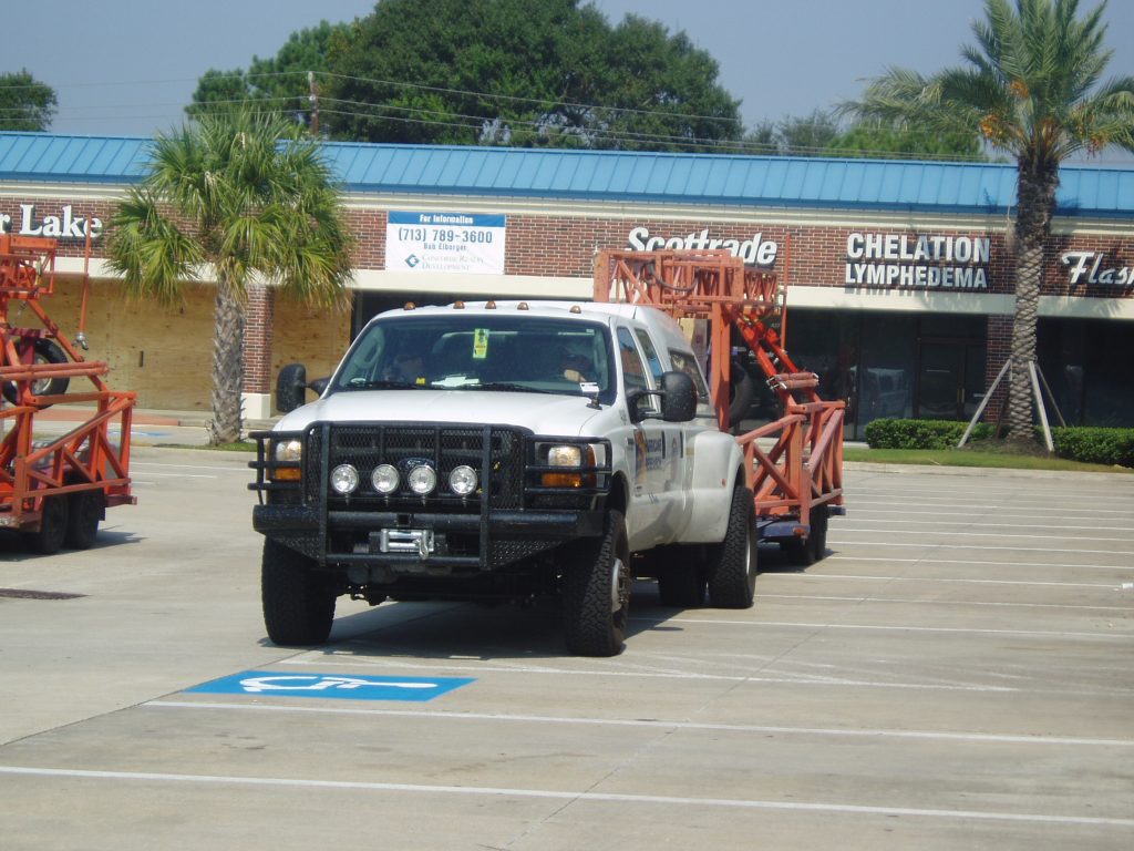
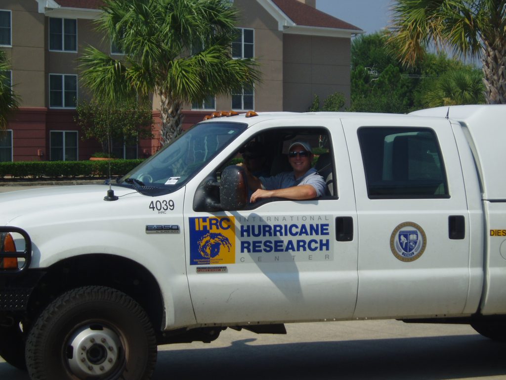
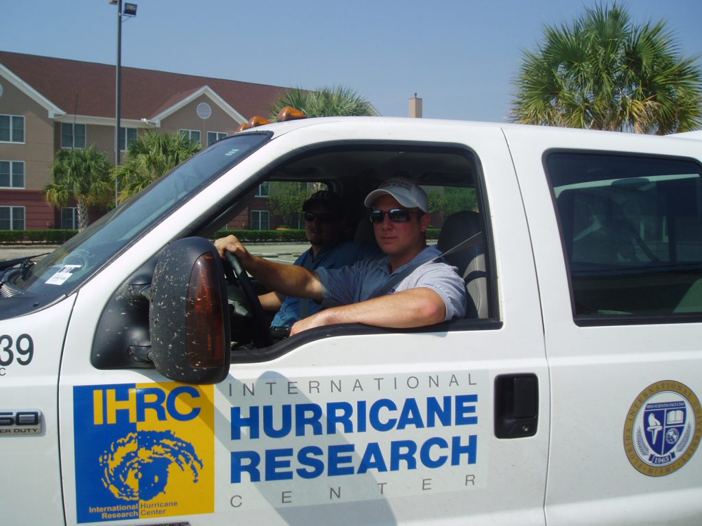
FCMP Convoy
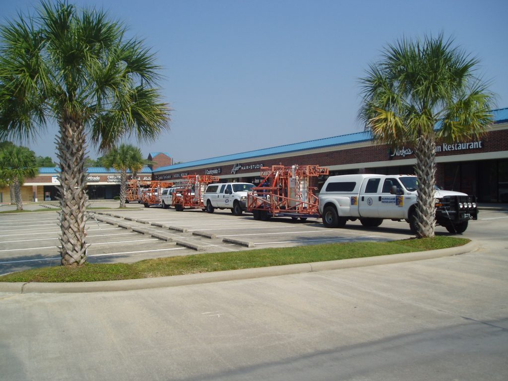
Possibly, one tower will be brought online today at the airport nearby. The team plans to deploy the remaining towers in the morning to allow traffic to disperse. The interstate system is nearly gridlocked, but county roads appear to be open.
1730 EDT
Two teams are now looking for tower drop locations east of Houston per the guidance from the NHC advisory. Anahuac, Winnie, Port Arthur and Beaumont all appear to be in Rita’s path and thankfully the desired open exposure is more prevalent in this Texas landscape. The teams also met with a Texas Tech crew deploying a WEMITE station at Southeast Texas Regional Airport west of Port Arthur. This location is a possibility for a coordinated data collection with the WEMITE, FCMP tower and the Doppler on Wheels, due to its exposure and proximity to the present landfall prediction.
2200 EDT
The teams have returned to the hotel for the night. A few hours sleep will be welcome before a long, wet day tomorrow.
Friday, September 23, 2005
0950 EDT
FCMP towers are on the road to Port Arthur. The plan is to rendezvous with CSWR to discuss the 10 AM CDT advisory.
1253 EDT
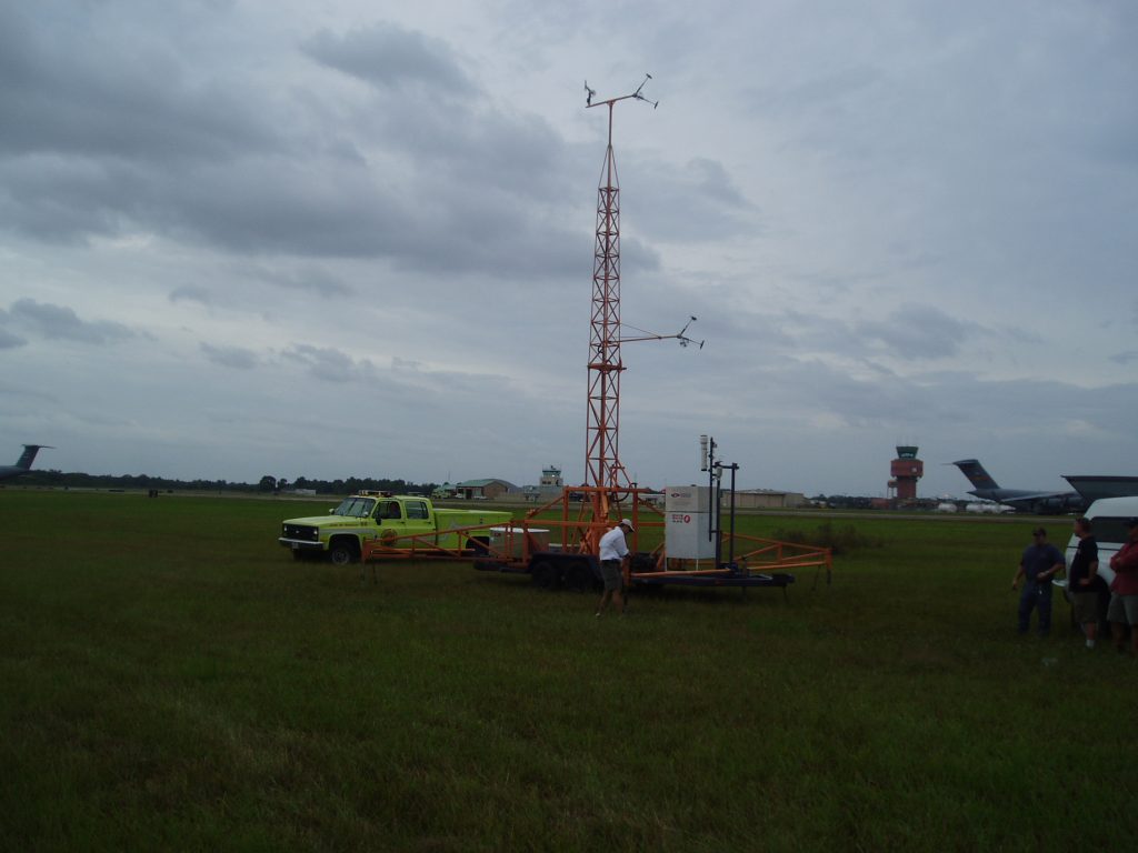
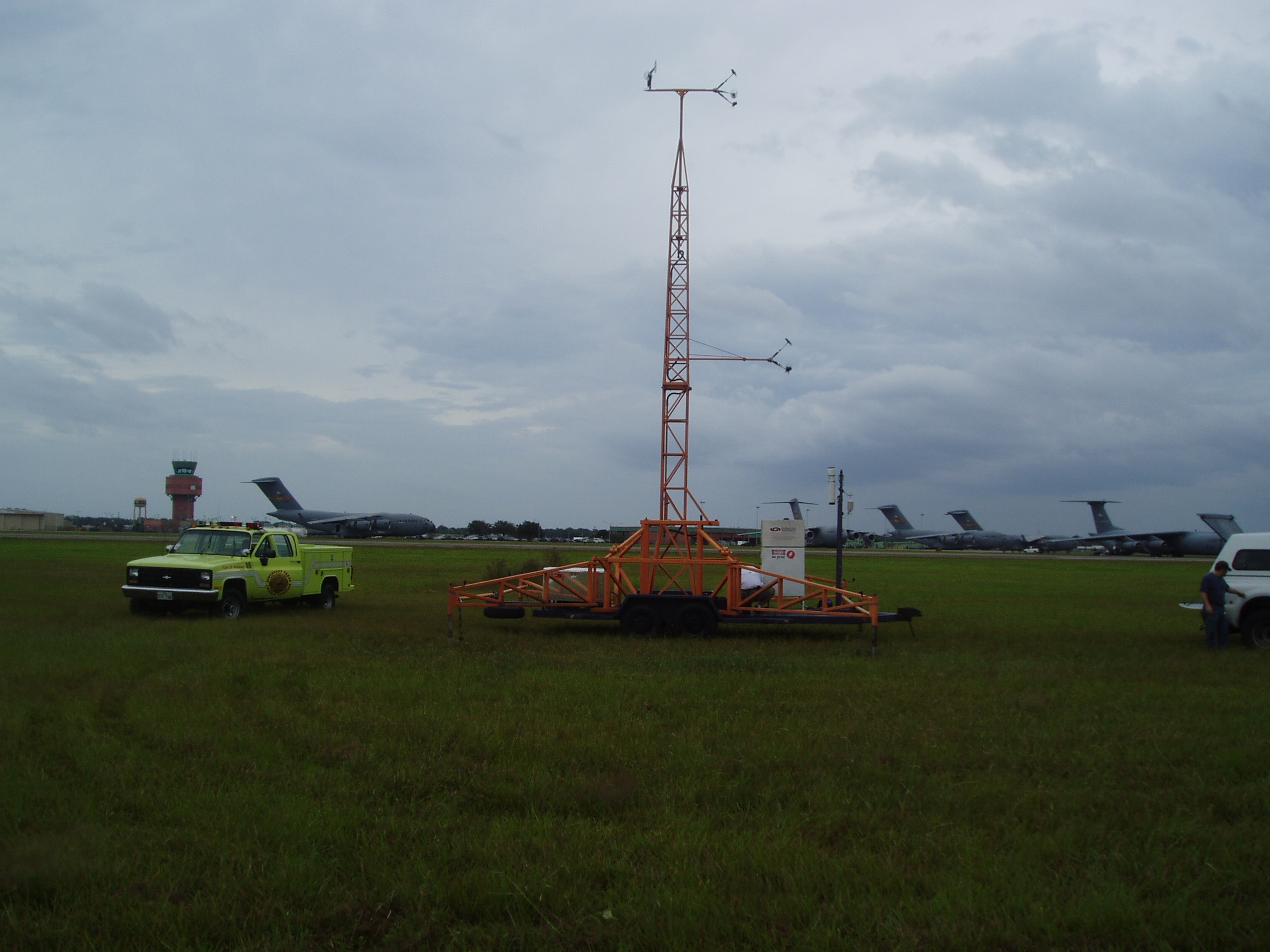
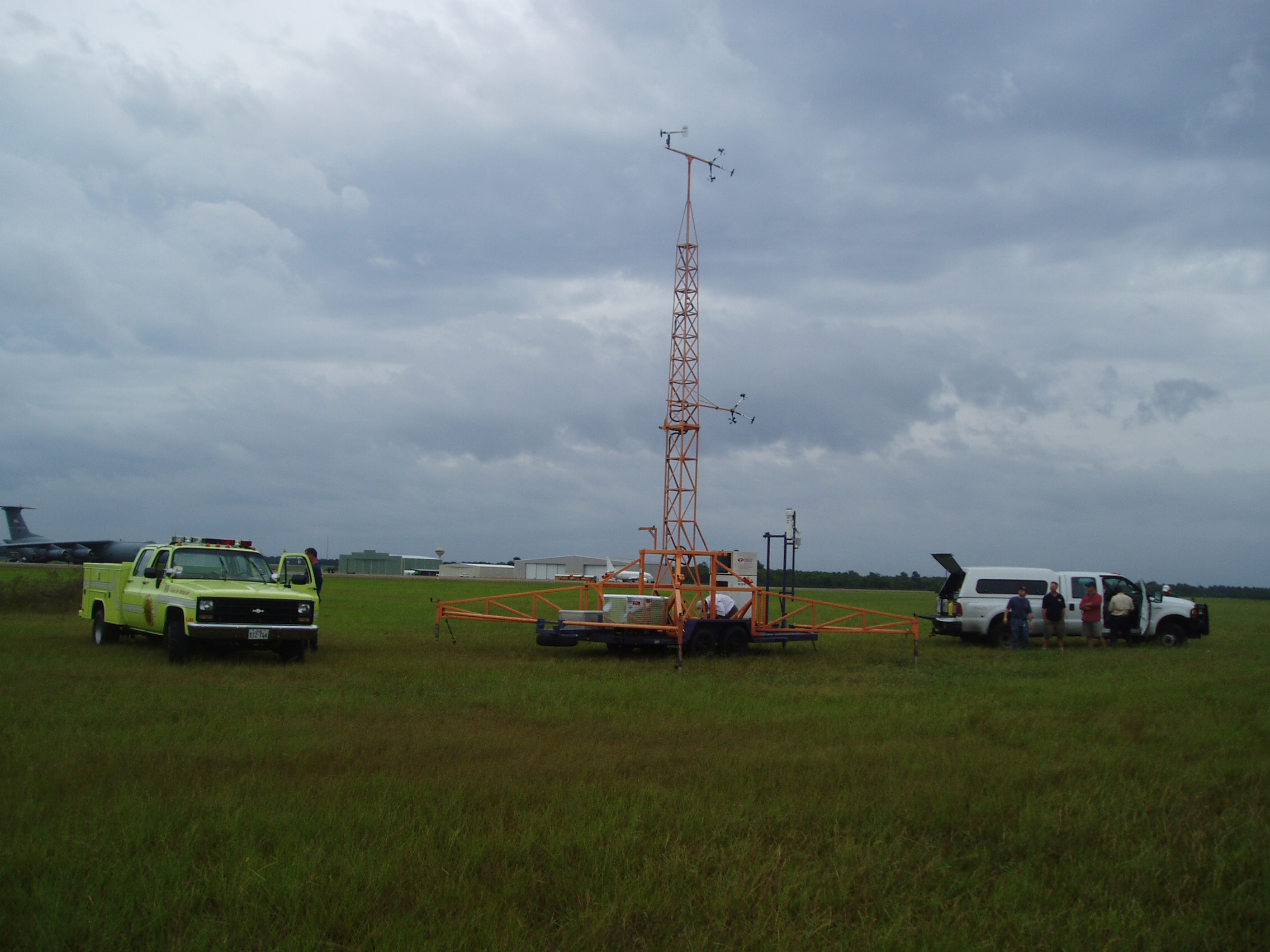
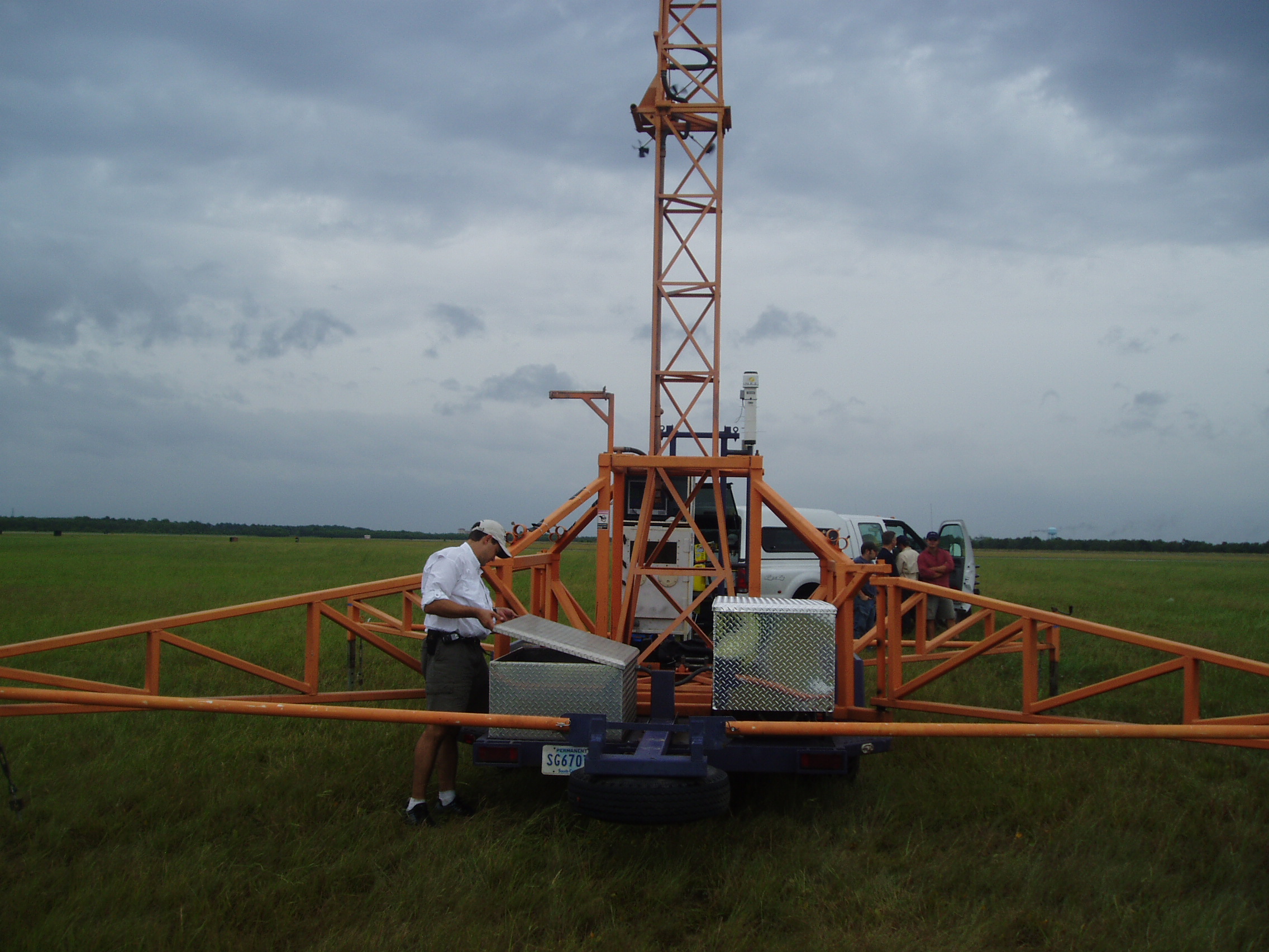
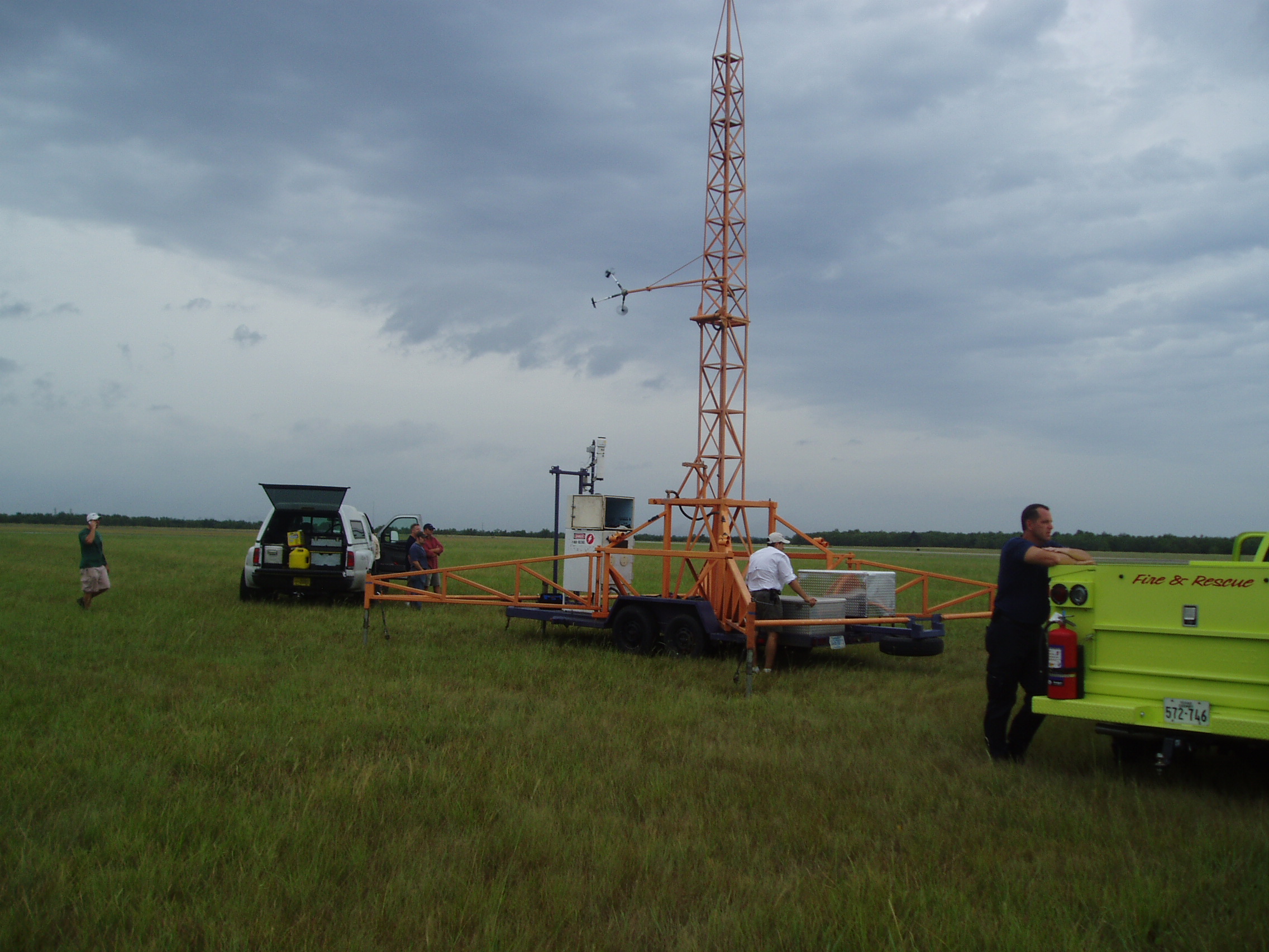
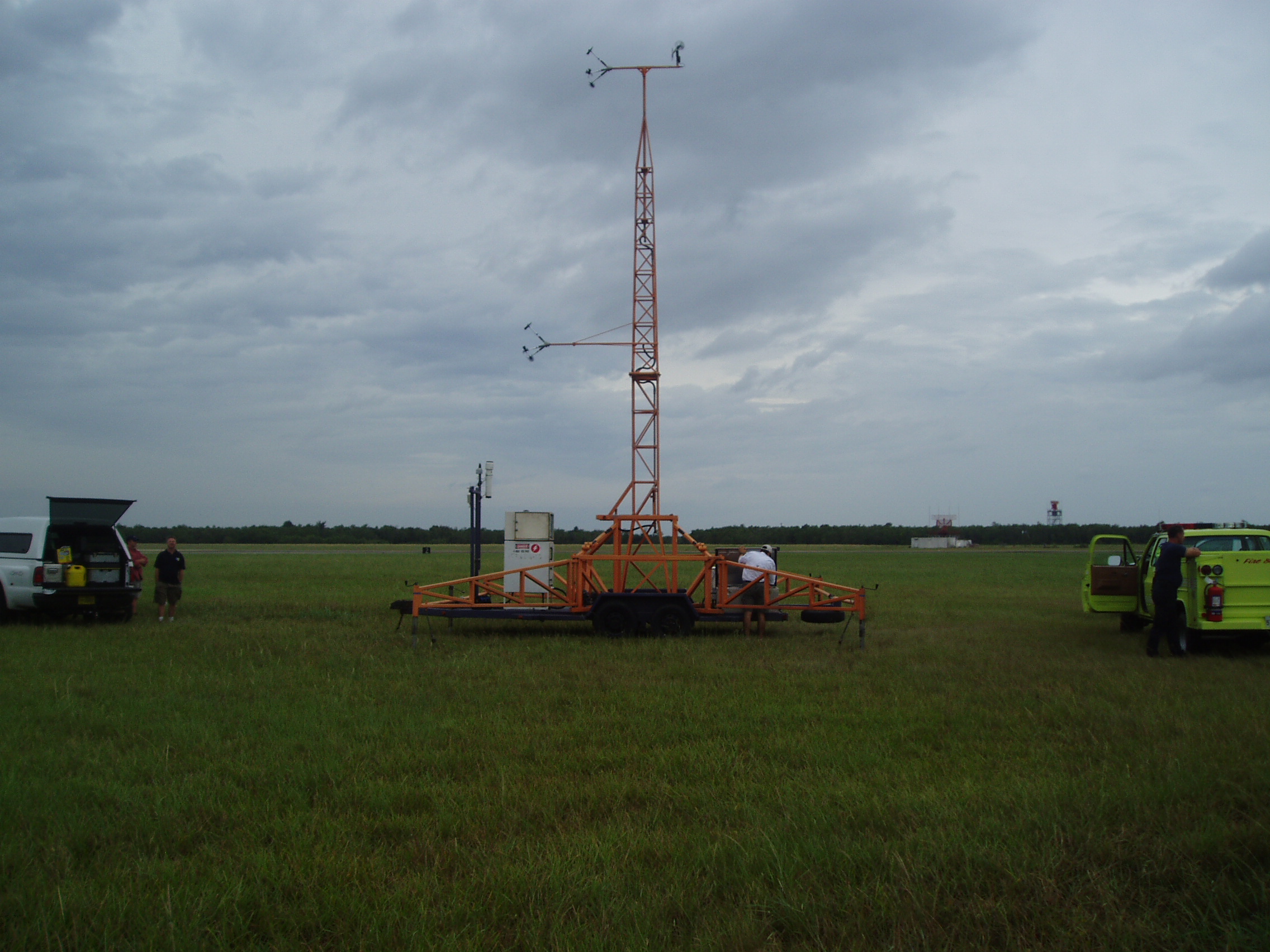
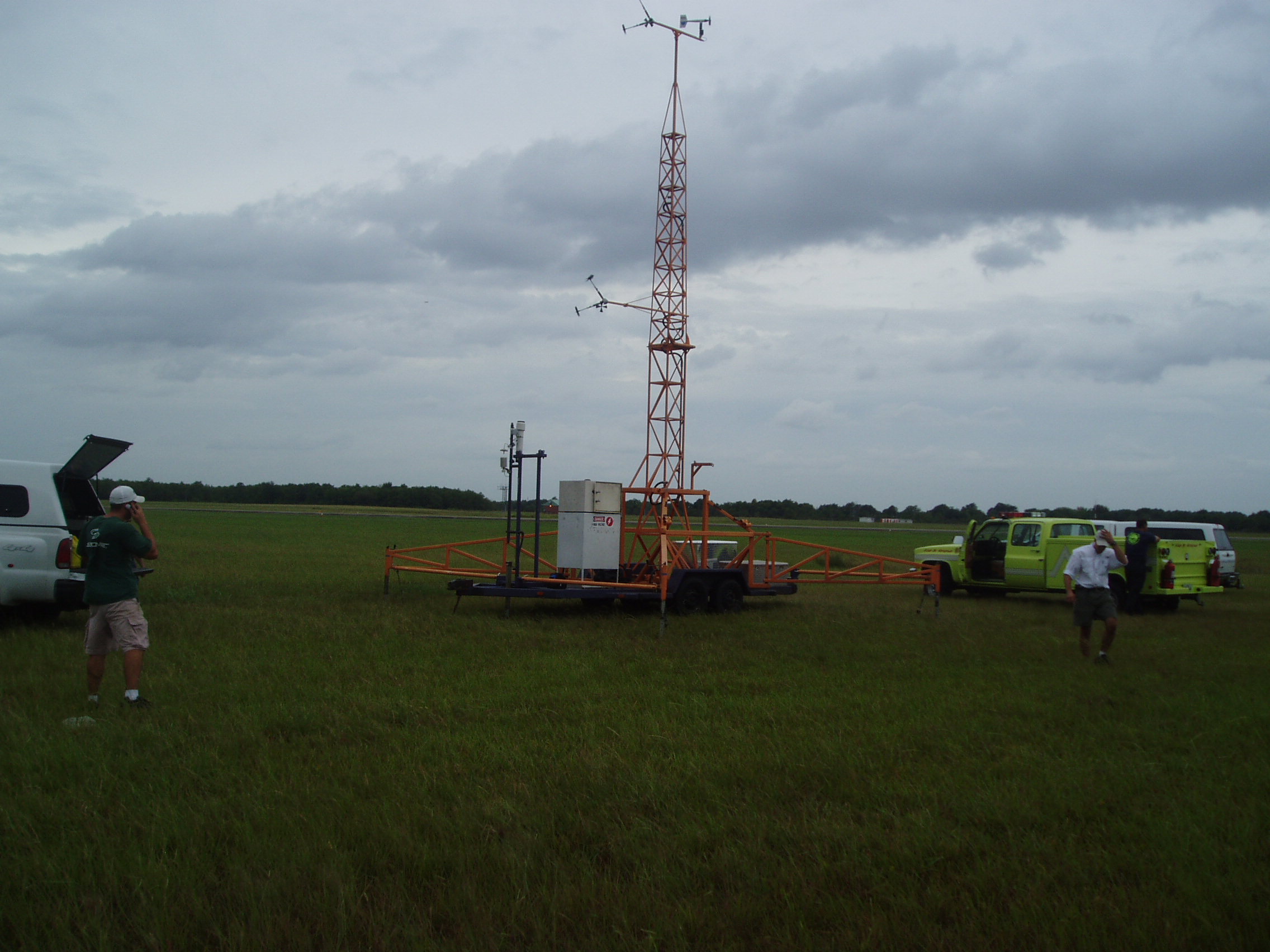
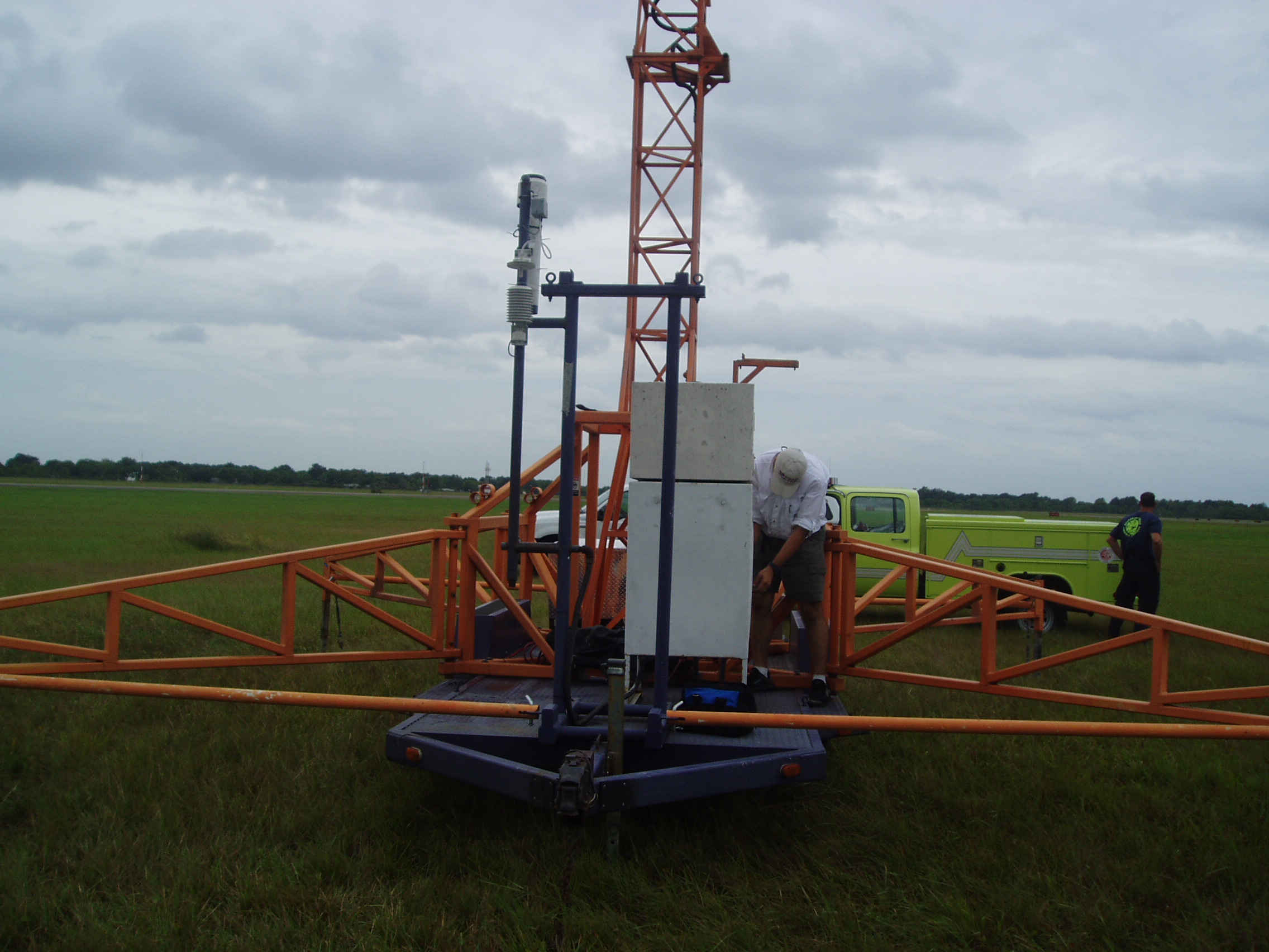
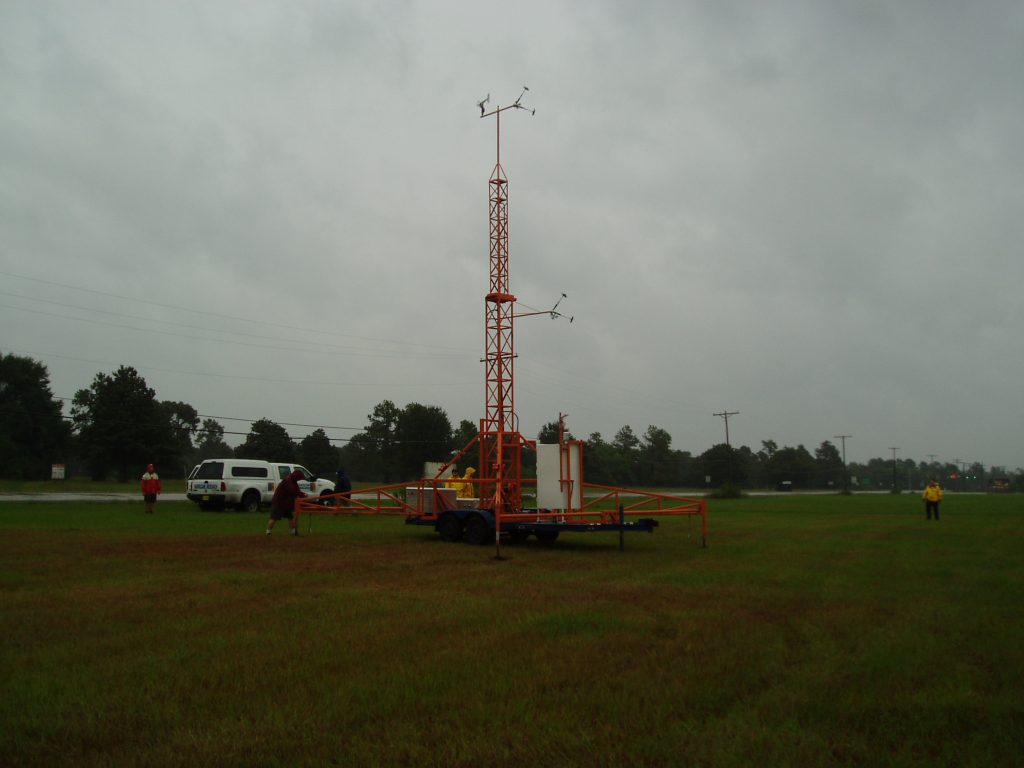
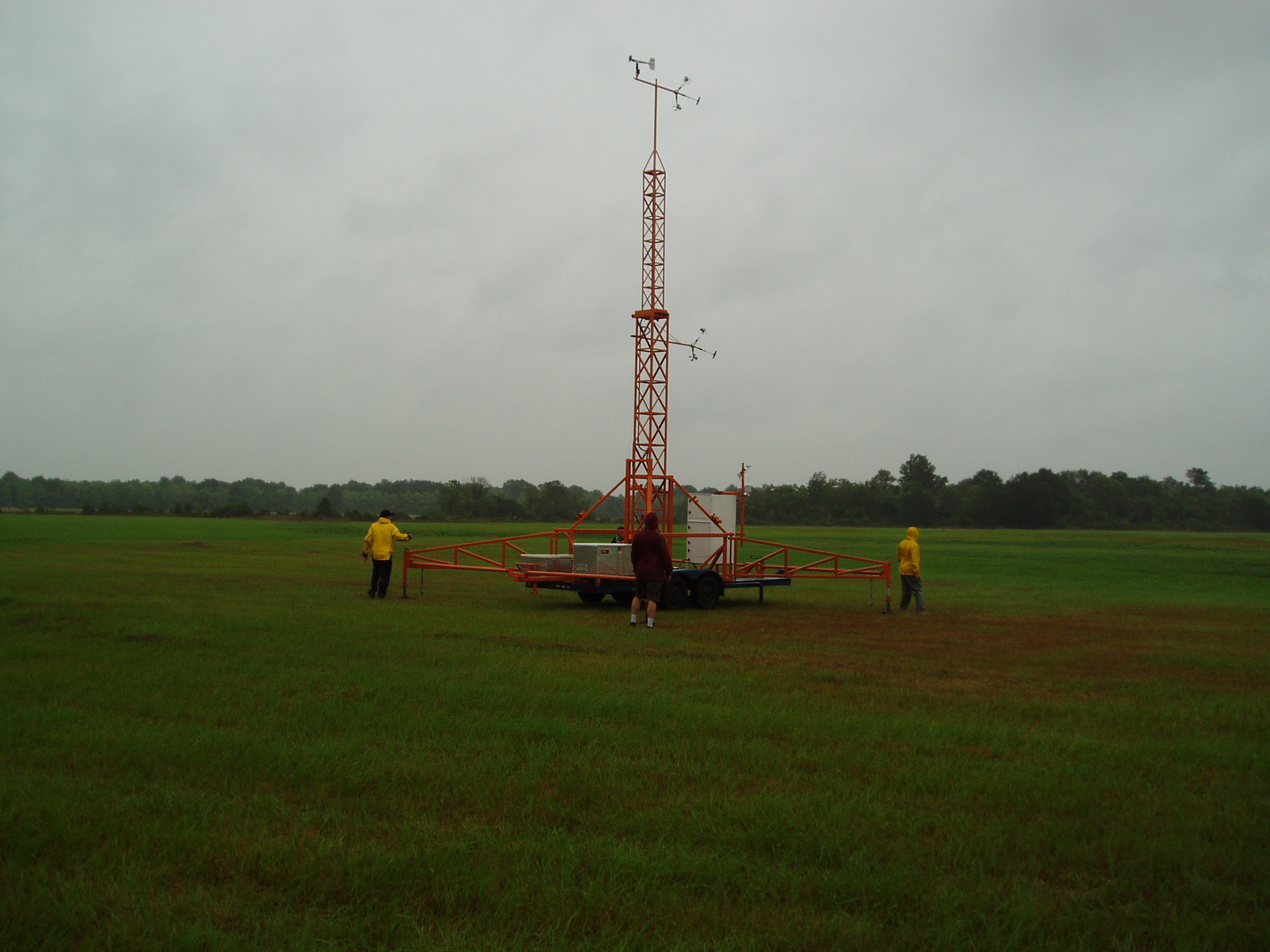
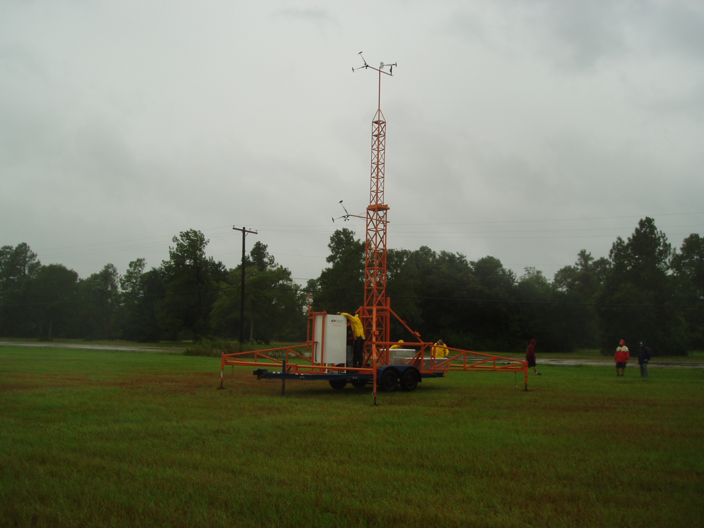
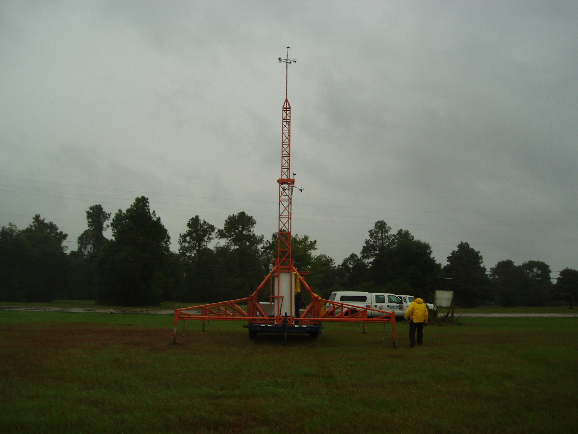
FCMP teams had successful deploy mobile tower T0 on SE Texas Regional Airport, Port Arthur, TX.
T0 Exposure Pictures
Looking North 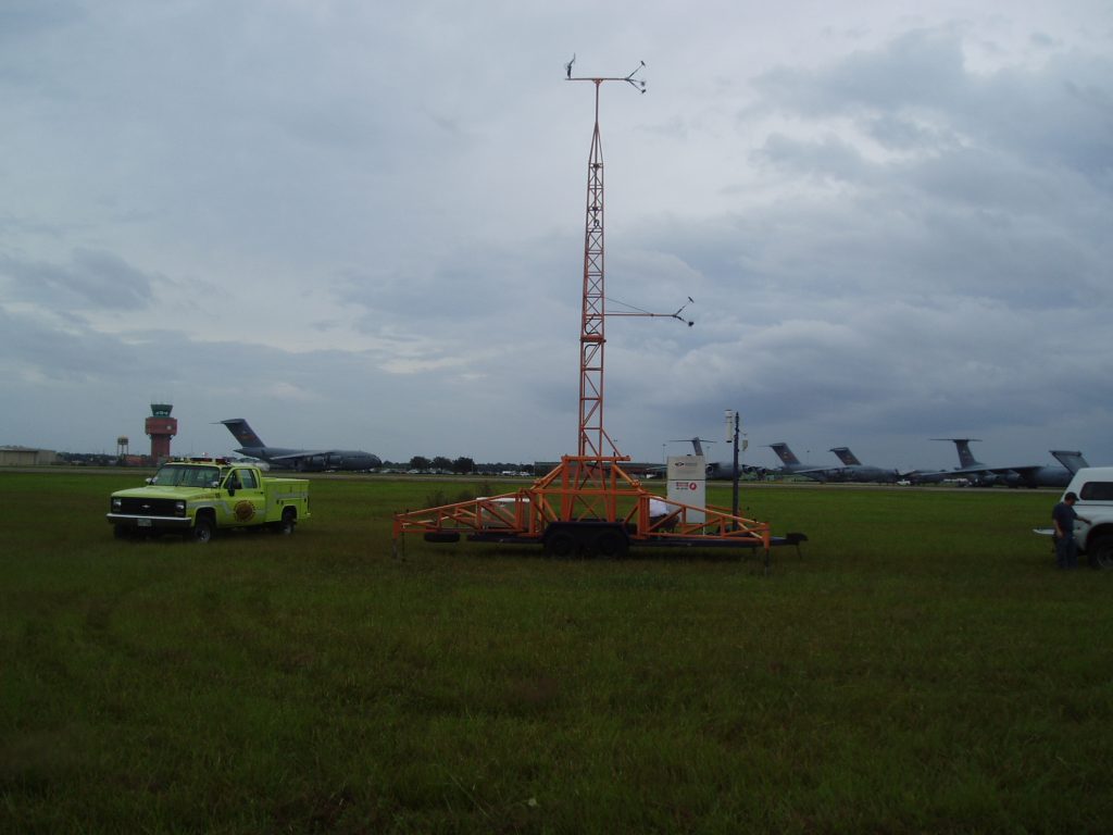
Looking NE 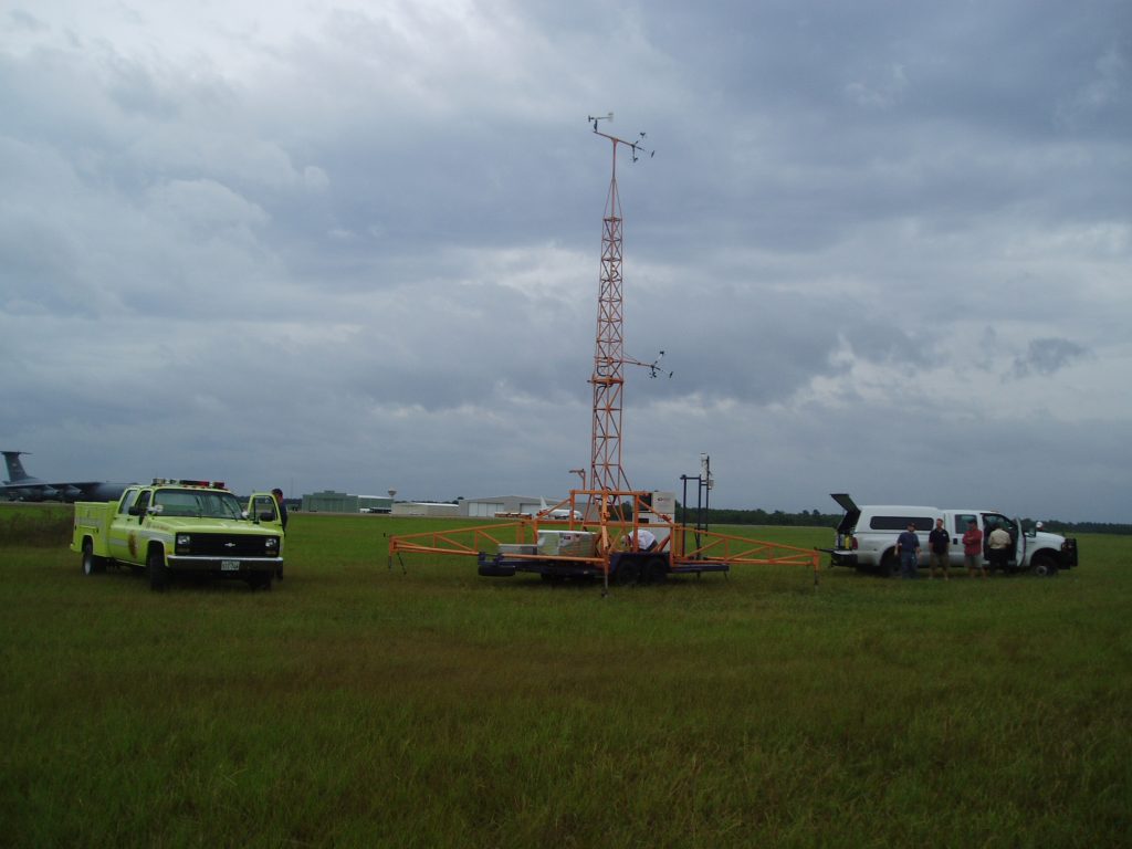
Looking East 
Looking SE 
Looking South 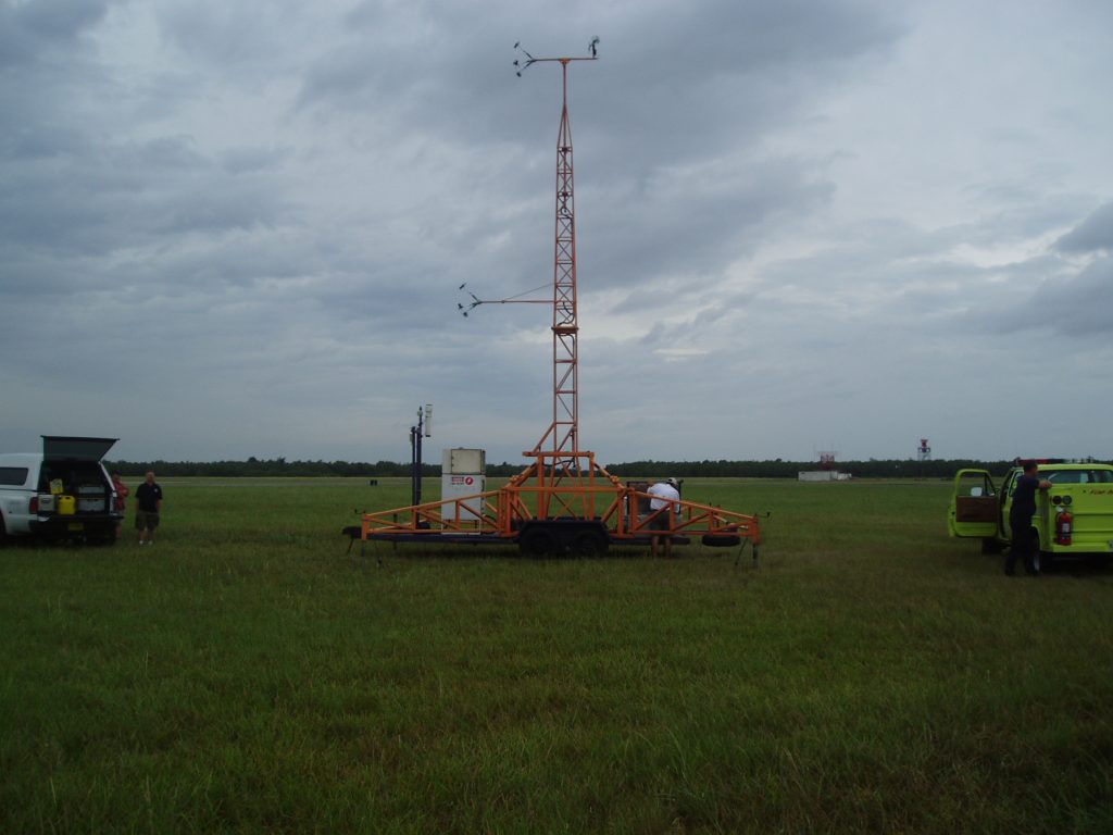
Looking SW 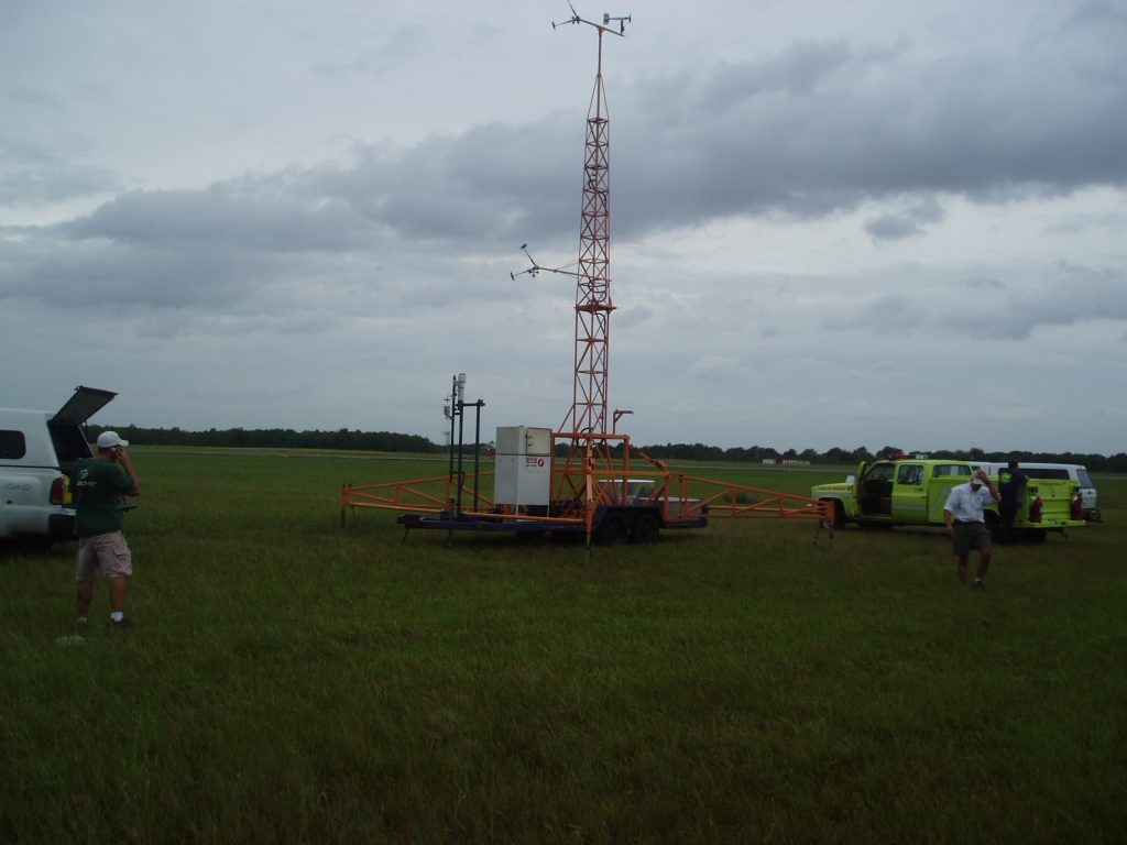
Looking West 
Looking NW

1400 EDT
For mobile tower T0 refer only to the 10 and 5 meter Gill Anemometers, the 10 meter Wind (Vane) Monitor is reporting lower wind speeds than the actual.
1500 EDT
FCMP teams prepare to deploy the next mobile tower in Pinehurst, Texas.
1700 EDT
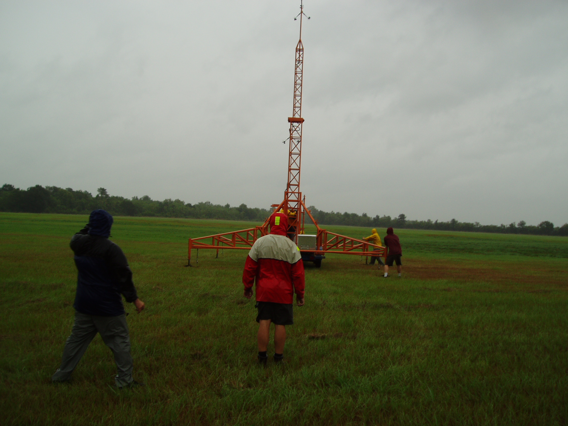
FCMP teams had successful deploy mobile tower T5 on a open field in Orange, TX.
T5 Exposure Pictures
Looking North 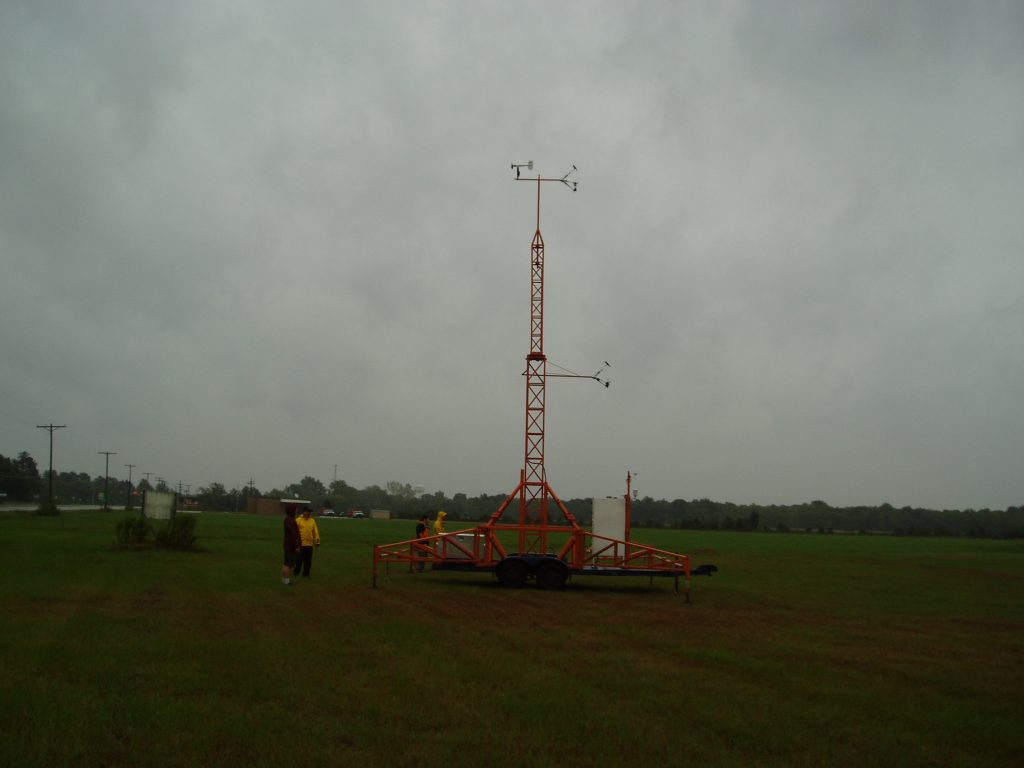
Looking NE 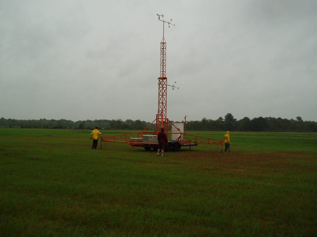
Looking East 
Looking SE 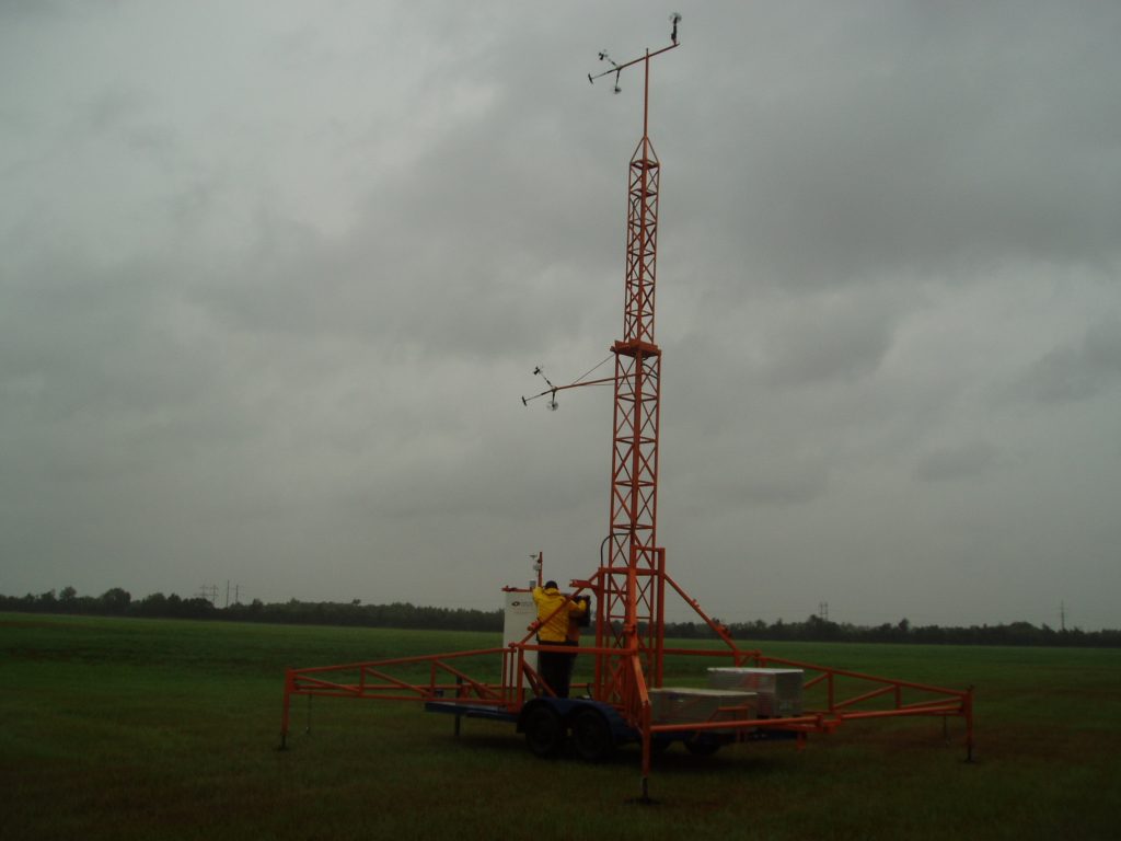
Looking South 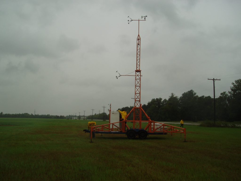
Looking SW 
Looking West 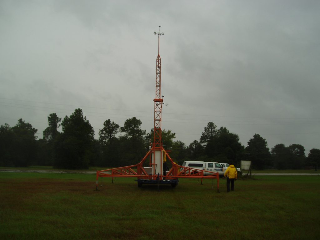
Looking NW
2158 EDT
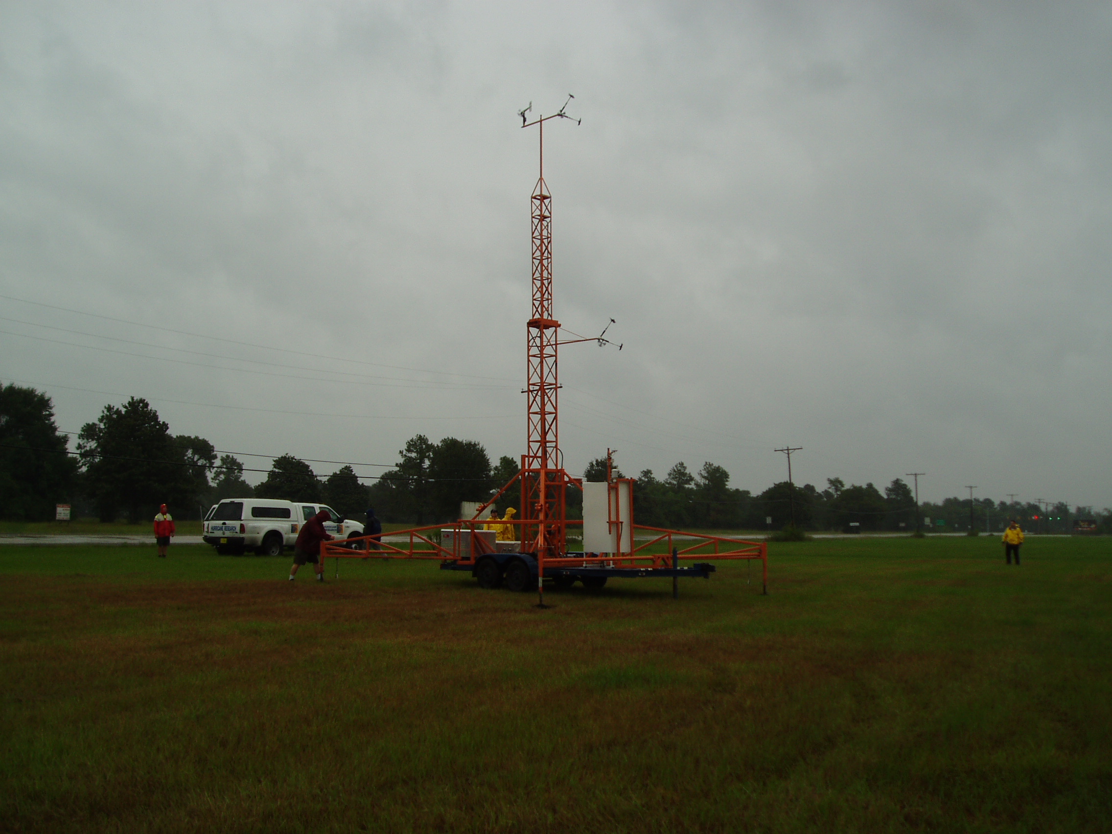
FCMP teams had successful deploy mobile tower T3 on in Nederland, TX.
2255 EDT
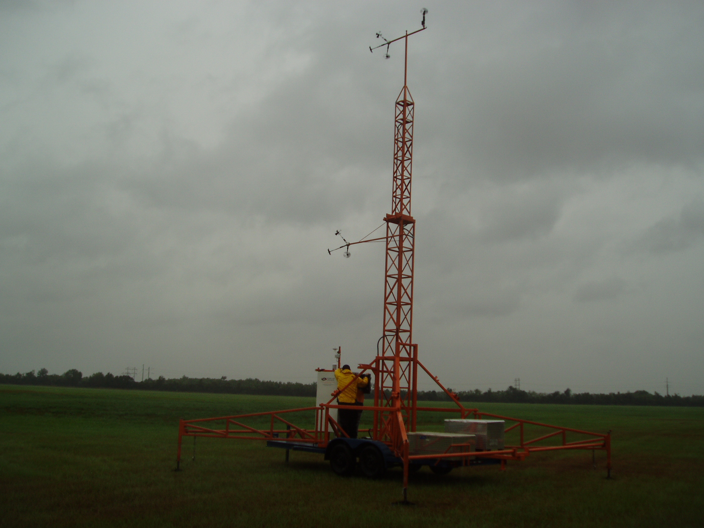
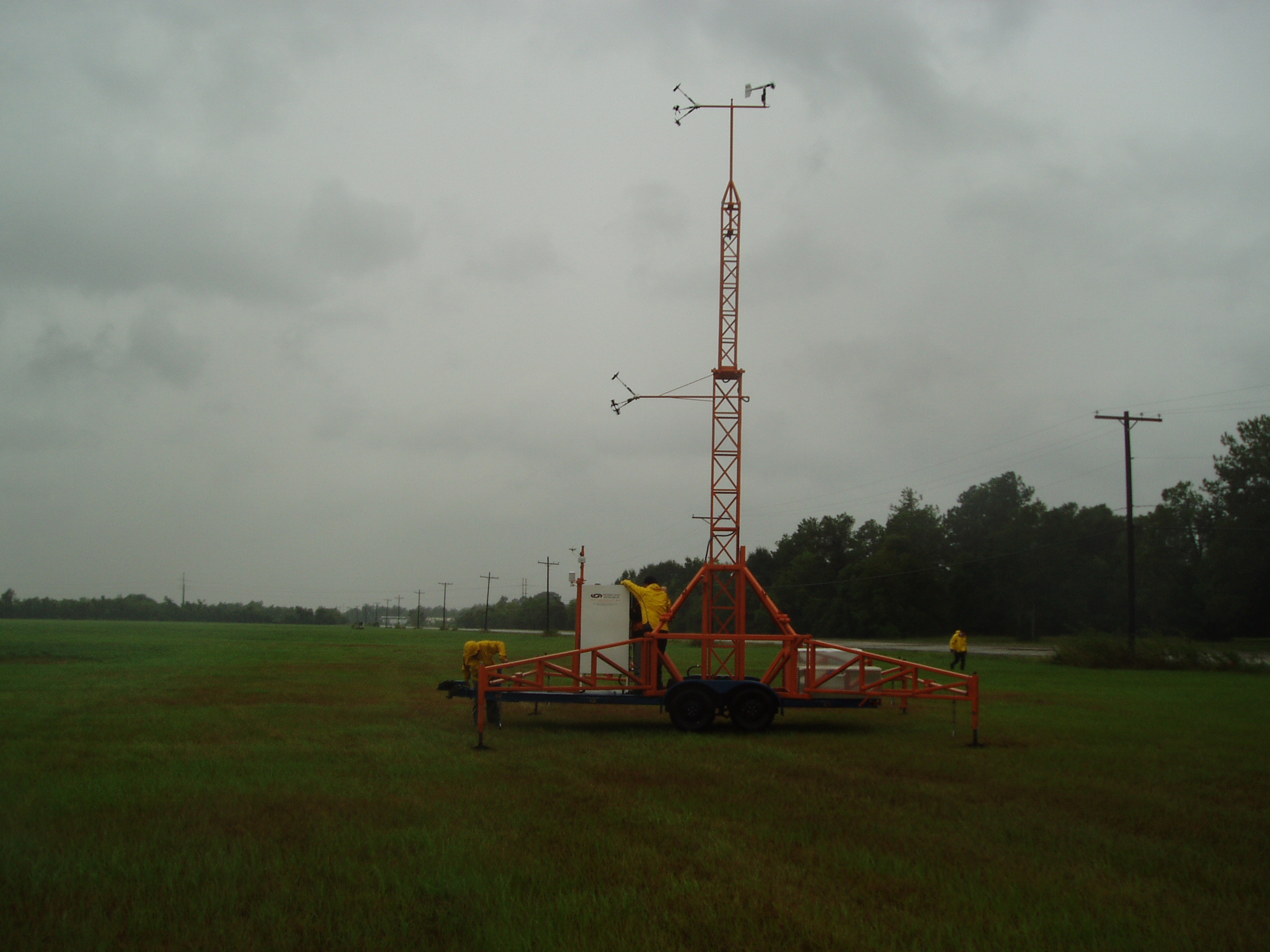
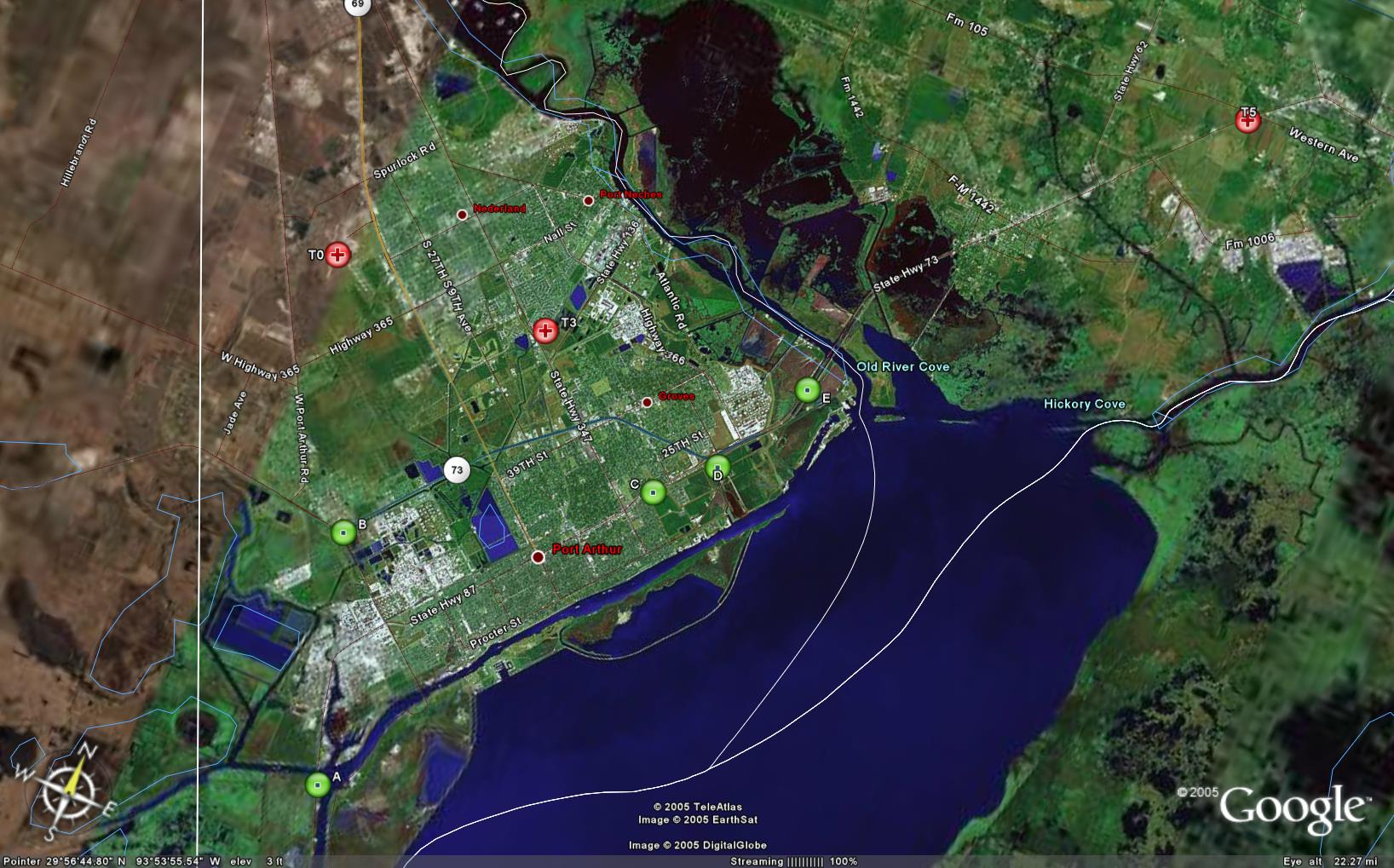
Three of the four towers are online. T5 and T3 were deployed at Orange and Nederland, towns near Beaumont, Texas. T3 was strategically placed so that CSWR could maneuver up and down SR 73 to measure Doppler velocities along wind and over the tower site. The sites in green (labeled, A, B, C,…) will be used dependent on the Rita’s path. T1 will be erected at Hobby Airport in Houston.
2307 EDT
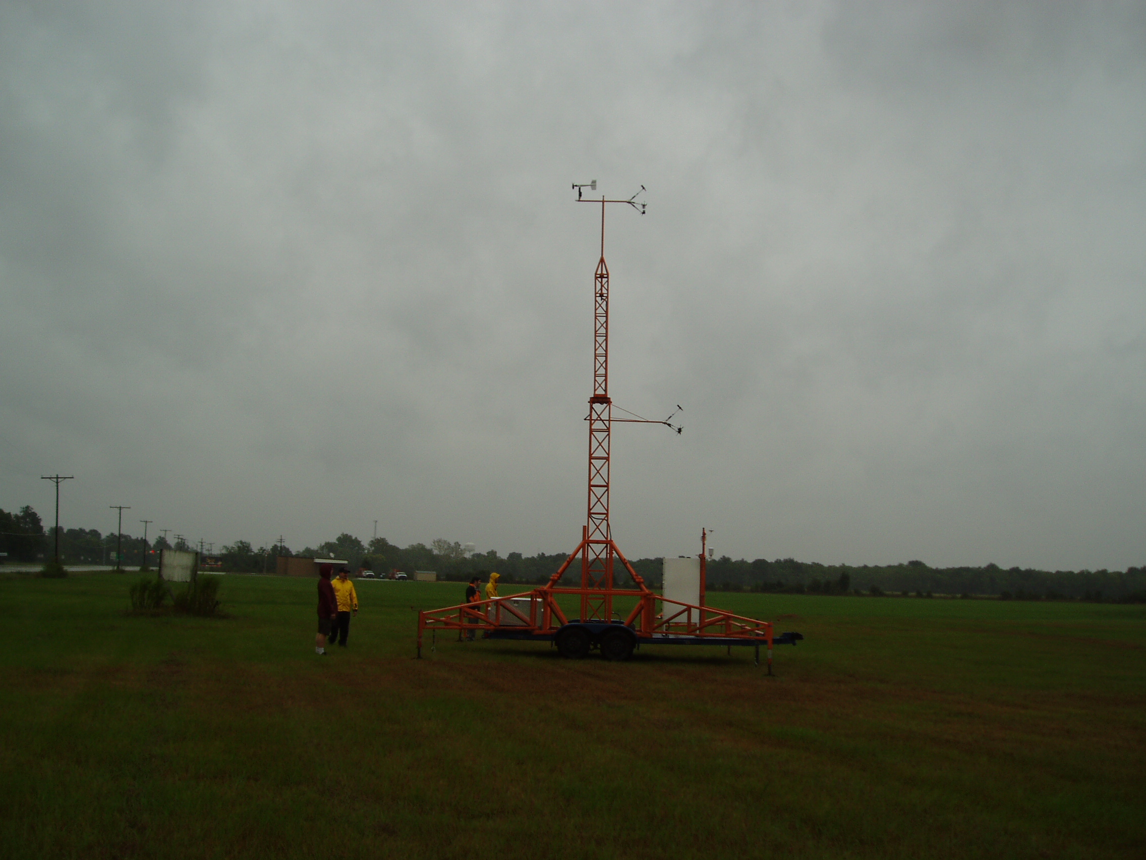
FCMP teams had successful deploy mobile tower T1 on Hobby Airport, Houston, TX.