Hurricane Katrina Deployment Map
Tower Data Records- Hurricane Katrina
| Tower | City, State | GPS Coordinates | Aerial Photo | Summary Plots |
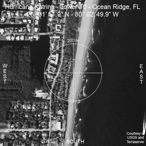
| T0 | Ocean Ridge, FL | 26° 31′ 51.9″N 80° 02′ 49.9″W |
|
|
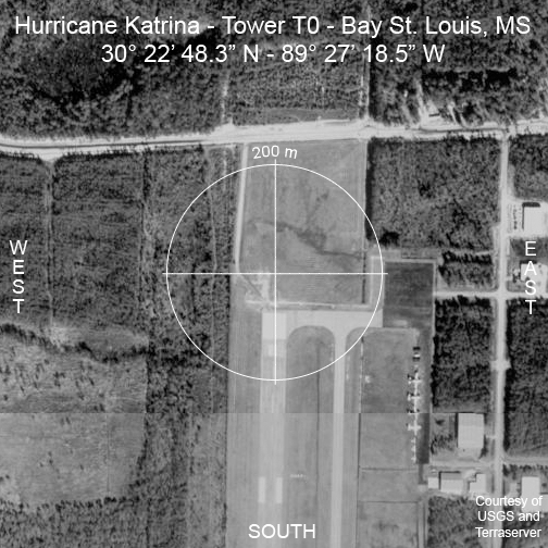
| T0 | Bay St. Louis, MS | 30° 22′ 48.3″N 89° 27′ 18.5″W |
|
|
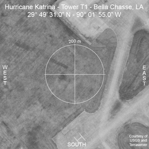
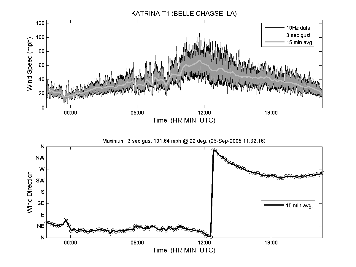
| T1 | Bella Chase, LA | 29° 49′ 31.0″N 90° 01′ 55.0″W |
|
 |
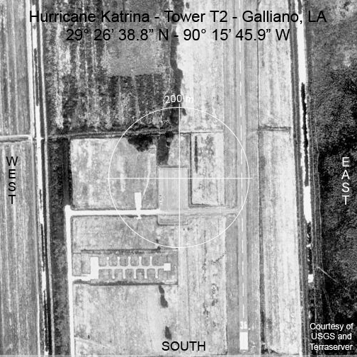
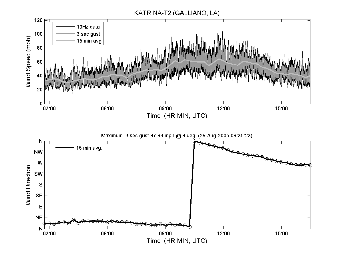
| T2 | Galliano, LA | 29° 26′ 38.8″N 90° 15′ 45.9″W |
|
 |
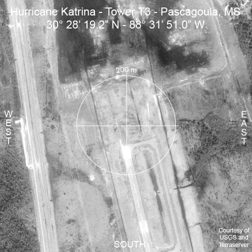
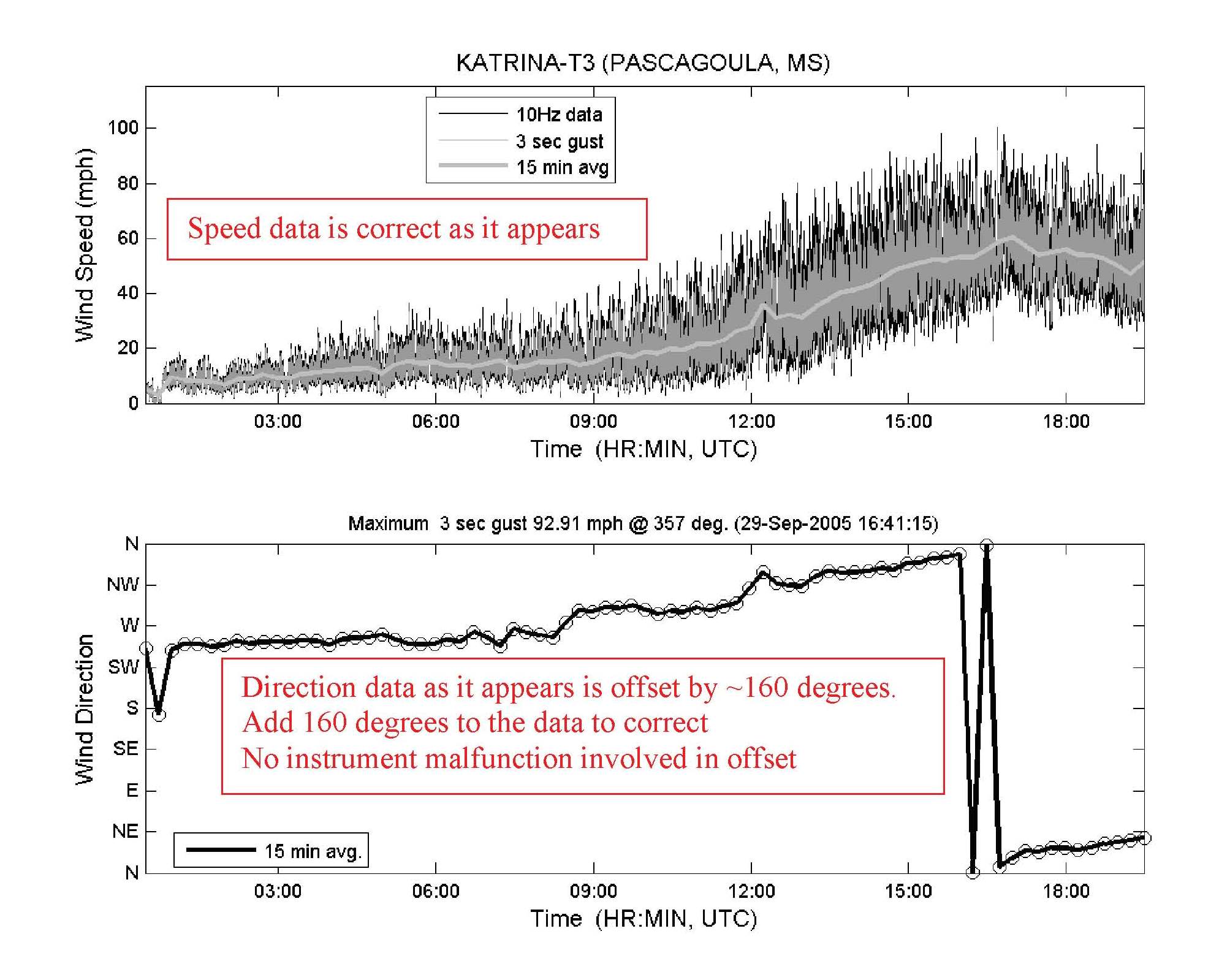
| T3 | Pascagoula, MS | 30° 28′ 19.2″N 88° 31′ 51.0″W |
|
 |
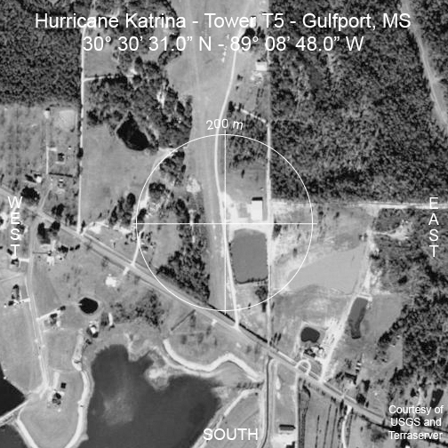
| T5 | Gulfport, MS | 30° 30′ 31.0″N 89° 08′ 48.0″W |
|